Orienteering News April 19th 2017
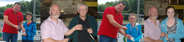
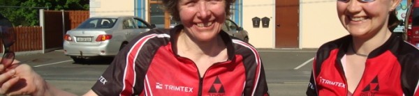
 All back safe and sound from the JK last weekend – four days of great orienteering in the south-east of England. We had some good runs from 3ROC – Frank Martindale (M80) was 2nd in the Sprint, Aidan McCullough (M16) was 10th in the Sprint, Eoin McCullough (M21E) was 14th in the Sprint, Colm Moran (M21E) was 20th in the Sprint, Mary O’Connell (W55) was 12th in the Sprint and 2nd W55S overall. In the relays on Monday the 3ROC team in the Men’s Short came in a minute clear of the field, with Eoin McCullough’s run belying the fact that he had already had three hard races including a 17 km Elite race the day before. Second leg Clíona kept her cool and ran the 5th fastest time on her leg to bring the team in at 12th position, and anchor-man John huffed and puffed around the course and managed to hold on in 15th place.
Aidan McCullough and Clodagh Moran ran with the Irish Junior Squad, Clodagh’s team finishing 5th in the Women’s Short and Aidan’s 8th in the Intermediate Men’s race. By the way, well done to the CNOC team os Ruth Lynam, Niamh and Caoimhe O’Boyle who finished 2nd in the Women’s Short relay.
For your diary, the 2018 JK at Easter (March 28-April 2) will be around Stafford and Cannock Chase in the West Midlands.
Orienteering this weekend
Anyway, back to reality and our Leinster League event at Carrick, Glenealy on Sunday 23rd April. Details of the event are on the IOA Forum and below on this page. The forest is looking great, some of the controls are already out, and we’re good to go. Courses range from 2.4 km to 8.3 km and the Brown and Blue course runners can choose whether to run on a 1:10000 or 1:15000 scale map, for practice at the larger (or should that be smaller?) scale map. As some of you might like to save your energy for the Irish Championships the following weekend, we are also providing a map with 25 controls on it so you can make up your own course or just focus on some navigational techniques without the pressure of competition.
Registration will be open from 10.30 to 1 pm and starts from 11.00 to 1.30. Courses close at 3.30 pm. The start is 15-20 minutes uphill walk from the parking field.
Carrick is probably the largest orienteering forest in Leinster and was newly mapped for last year’s Leinster Championships, so we hope you’ll come along on Sunday and enjoy your run.
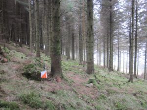
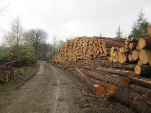
Note: There are some big piles of cut timber in the forest. Please DO NOT CLIMB on these and make sure your kids don’t climb on them either (See the photo below).
Courses:
Brown 8.3 km/400m climb/ 26 controls – for fit, experienced orienteers
Blue 6.5 km/ 300m climb/ 20 controls – for fit, experienced orienteers
Green 5.1 km/ 200m climb / 19 controls – for fit, experienced orienteers
Red 4.9 km/ 175m climb/ 12 controls – for fit, less experienced orienteers and runners
Light green 4.5 km/ 130m climb/ 14 controls – for less experienced orienteers
Orange 3.2 km/ 50 m climb/ 12 controls – for adult novices and older children
Yellow 2.3 km/ 25 m climb/ 10 controls – for beginners, families and younger children.
Map scale 1:10000, printed on A4 size Aqualaser waterproof paper with overprinted courses. If you think that your map will need further protection, please bring a map case. Brown and Blue course competitors can choose to run on a 1:15000 scale map if they prefer (subject to availability of maps). All other courses will be 1:10000 scale only. Contour interval 5 metres. See the 2016 edition of the map on Routegadget
here. SportIdent timing will be used. See the location map
here.
Control descriptions will be printed on the map and will also be available at registration.
Registration from 10.30 to 13.00. Start times 11.00 am to 1.30 pm. Courses close at 3.30 pm sharp.
Note: The start is 15-20 minutes walk from parking. Finish is about 5 minutes from parking.
Location The event will be signposted from the junction in Glenealy village. From Dublin leave the N11 at Junction 16 and takes the R772 to Rathnew. Turn right in Rathnew on the R752 towards Rathdrum. After about 5 km km turn right in Glenealy and then sharp left after 100m onto a narrow road. Please drive carefully here as there are children and houses. Parking is in a field on the left after about 600m.
Grid ref for parking T 24041 92517; lat 52.969319, long -6.1541891.
Entry fees: Adult €12; Junior/Student/unwaged/aged 65+ €10; Families €25.
Reduced fees for members of IOA/NIOA Orienteering clubs: €8/€6/€20.
SI Card hire €2.
Terrain: Carrick is a working forest with areas of coniferous, and deciduous trees and even some blocks of eucalyptus. There is a good network of paths and forest roads and the longer courses will have a considerable amount of climb (you can sometimes see Snowdonia from the top!). The area is used a lot by mountain bikers and not all the MTB tracks are shown on the map. There has been recent felling but this has had little impact on the courses.
Safety:
Please drive carefully on the narrow lane approaching and leaving the event. There may be livestock adjacent to the parking field: these areas are out of bounds to orienteers: please keep children and dogs under control.
There has been recent felling in parts of the forest and there are large piles of logs beside some of the roads. Please DO NOT CLIMB on these: parents, please make sure that your children know this.
Whistles: You are strongly advised to carry a whistle for use in an emergency. Whistles will be on sale at registration. This particularly applies to the Brown and Blue courses as you will be in parts of the forest nobody else will be near.
Officials: Organiser: Lindie Naughton; Planner John McCullough, Controller Brendan McGrath.
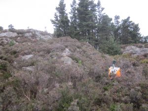
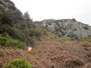
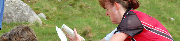
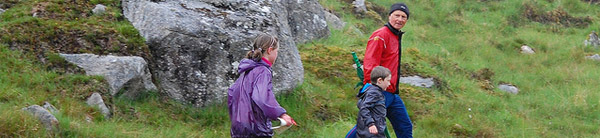
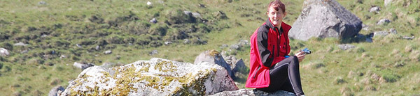
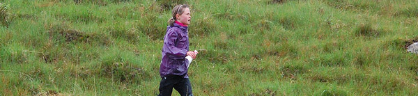
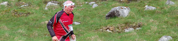
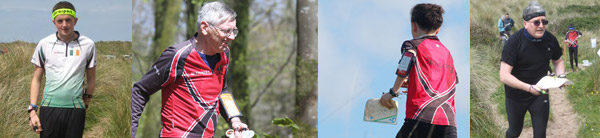
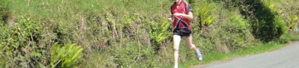
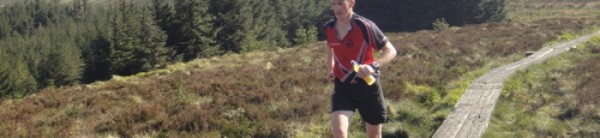
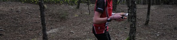
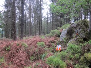
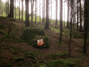
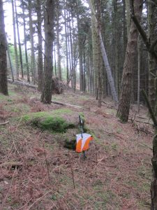
Here are some photos of the area (with actual control sites!).