


Final Information for the Leinster Championships
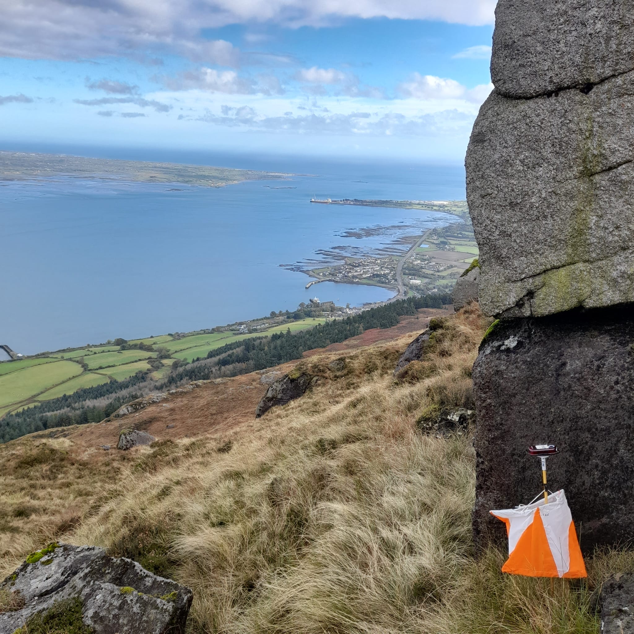
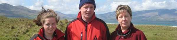
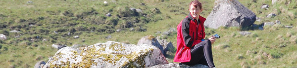
The view over Carlingford Lough when putting out controls on 22nd October
Leinster Championships 2022 – Carlingford Mountain, 23rd October 2022.
Final Information for Competitors
Key Points:
- Be prepared for bad weather – cagoules/waterproof jackets may be mandatory.
- No whistle, no go.
- 2 km+ walk to the start for courses 1-9.
The start list is now available on the Leinster Championships entry page at Fabian4.co.uk here.
Travel
Leave the M1/N1 at junction 18 and take the R173 towards Greenore and Carlingford. Be careful at the roundabouts onto the R173 as it is easy to take the wrong exit!
The event will be signposted from The Bush on the R173 Dundalk to Carlingford Road, about 4.5 km east of Lordship village. There are slightly shorter routes but they involve narrow, twisty and hilly roads so please follow the recommended route. Turn left off the R173 at The Bush, and left again immediately. There is one tricky junction where you join a more major road from the left.
It is not currently possible to reach the area by public transport – there is no Sunday service on the Bus Eireann 161 route from Dundalk to Newry via Carlingford.
If you are using GPS, the nearest Eircode to parking is A91 P231. GPS 54.030644, -6.2306750. Grid Ref J 15972 10481.
Here is the location map.
Parking will be in a sloping grassy field at the top of a narrow farm track on the right hand side of the approach road. Please drive slowly on the track and be extra careful near the gate. Orienteers on foot will enter and leave the field through the gate that cars come in through.
There will be a €2 or £2 charge per car for parking, collected at the gate – please have coins ready. Cars will leave the parking field through the gate at the bottom of the field. If the weather is particularly wet, cars will leave by the same gate they entered.
Runners must enter and leave the parking field through the gate: please do not attempt to climb over the fence to or from the competition area.
Safety
All competitors must carry a whistle to attract attention in case of emergency or injury. There will be a whistle check where you will have to show your whistle as you enter the competition area. If you do not have a whistle you will not be allowed to start.
Cagoules/waterproof jackets will be required depending on conditions on the day. If cagoules are mandatory, you will not be allowed to start without one. Cagoules may also be recommended but not mandatory, or they may be optional. This information will be displayed on the way into the competition area.
You should note that Carlingford Mountain/Slieve Foye is an exposed upland area rising to nearly 600 metres/2000 feet. Weather and visibility can change quickly and the upper slopes are often shrouded in cloud and mist. Temperature and wind conditions at the top can be very different to lower down the slopes, so do not underestimate the conditions you may encounter. (At the first event here, the 1993 Irish Championships, runners had to deal with thigh-deep snow in May).
Starts
There will be two starts.
The High start for courses 1 to 9 is about 2 km uphill walk along a grassy track with about 200 m climb. You should allow about 30 minutes brisk walk from parking.
The Low start for courses 10 to 14 is about 1 km walk in the other direction, with about 50 metres climb. The first 700m or so is along a level track and the last 300m is uphill through grass and heather.
After the last starts we will try to bring any clothing left at the starts back down to the parking field.
Call-up will be 3 minutes before your start time. Printed control descriptions will be available in the start boxes but they are also printed on the maps. Blank maps of the area will be on display in the start boxes.
Start times are from 11.00 am to 1.00 pm.
Course & Maps:
Course lengths are in the table below.
Courses 1, 2 and 3 will use 1:15000 scale maps and all other courses (courses 4 to 14) will use 1:10000 scale maps. All maps have 5 metre contours and are based on a recent LIDAR plot of the area. Maps are printed on “Rite in the Rain” waterproof paper. If you feel that your map will need extra protection, please bring a plastic bag or map case for your map.
All maps will be A4 size except Course 4 (M35, M40, M45 and M21L)which will be A3, i.e. twice the size of A4.
Control descriptions will be printed on the maps in IOF symbols for courses 1 to 12 and in English for courses 13 and 14. Descriptions will also be available in the start boxes.
There will be no legend on the map so you should familiarise yourself with the standard symbols for orienteering maps if you do not already know them.
M21E (Course 1) will have a map exchange on the course. Please put your Part 1 maps in the plastic bag at the map exchange. Fresh Part 1 maps will be available for collection in the parking field after the last start.
Course 14 only: There will be two legs on the shortest course (Course 14/Yellow) with taped routes where the course does not follow a line feature. Please bring this to the attention of any juniors in your party who are doing this course.
Safety bearing: If you get lost and need to abandon the competition, head southwest, downhill, until you come to the road. Please report to Download in the parking field so we know you are safe.
SportIdent: SI timing will be in use but contactless punching will not be enabled. If you are renting an SI card for the day, you can collect it at registration/download and return it afterwards. A lost rented SI card will incur a €50 replacement charge.
Finish The finish is on the hill overlooking the parking field. It is about 10 minutes walk from the finish down to parking and download. The route will be marked and the parking field should be visible from the finish. Download will be in the parking field.
Please download as soon as you come back to the parking field so we know you have returned and are safe.
Course closing time
The courses will close at 3 pm and the prizegiving will be held as soon as possible after this time.
Terrain notes
The ground is steep in places but generally runnable, with grass and short heather, some marshes and no bracken or gorse. There are many small sheep tracks which frequently follow contours but are not shown on the map.
There are many big crags in the area, on both sides of the mountain. Please be careful if you are near these. The ground is steep in places and, though courses have been planned to avoid long steep descents towards the finish, you will need to take care and to wear suitable footwear with studs or good grip. Parts of the area can be quite rocky so be careful coming downhill, especially approaching the finish.
Old boundaries can be shown on the map either as ruined walls or as ruined earthbanks and sometimes change from one to the other along their length.
There are essentially no paths or tracks in the area except for the sheep tracks mentioned above. The youngest junior courses will largely follow line features like streams, walls and earthbanks, so do not expect to be following paths or tracks.
Courses from the Low start will be in easier terrain, with some streams and earthbanks/walls but no big crags or very steep ground.
Depending on recent rainfall, streams, drains and small marshes may be bigger or smaller than shown on the map.
There may be sheep and horses in the competition area. No dogs are allowed.
First Aid will be provided by County Louth Civil Defence who will be in the parking field.
Toilets: Two portable toilets will be available close to the parking field.
Water: There will be water for competitors in the parking field. Courses 1 and 2 will have a water point at one control on the course with individual bottles of water. On course 1 the water point will be at the map exchange; on Course 2 it will be about half way around the course. This control is shared by two courses but the water is only for runners on Course 2. Please put the used bottles in the plastic bags provided there.
The locally-based Last Lap Café will be in the parking field. They will have hot drinks – tea, coffee & hot chocolate, cold drinks, a selection of sandwiches and wraps (vegetarian & coeliac included), hot food – crepes and waffles, snacks and chocolate bars.
Leave no trace: Please do not leave any rubbish in the parking field, including things like banana skins and pieces of tape used to tape your laces. The sheep will be back in the field on Monday.
Officials:
Course Planner – Aidan McCullough
Controller – Shane Lynch (CorkO)
Organiser – John McCullough.
Thanks to Fingal Orienteers for the loan of equipment, landowner Benny Barry for the parking field, Louth County Council Civil Defence, Pat Healy for the updated LIDAR map, Controller Shane Lynch, and the volunteers from 3ROC.
Courses / classes / length / climb / map scale
High start
1 M21E 11.5 km/420m 1:15000
2 M18E M20E W21E 7.4 km/360m 1:15000
3 W18E W20E 5.4 km/290m 1:15000
4 M35 M40 M45 M21L 7.3 km/335m 1:10000
5 M50, Men Long 7.0 km/320m 1:10000
6 M16 W35 W21L 5.8 km/310m 1:10000
7 M55 M60 W16 W40 5.0 km/255m 1:10000
8 M65 W45 W50, Women Long 4.5 km/235m 1:10000
9 M70 W55 W60 W65, Men Short 3.8 km/225m 1:10000
Low start
10 M75 M80 M85 W70, Women Short 2.3 km/143m 1:10000
11 M90 W75 W80 W85 W90 1.8 km/110m 1:10000
12 M14 W14, Light Green 2.9 km/165m 1:10000
13 M12 W12, Orange 2.2 km/135m 1:10000
14 M10 W10, Yellow 1.9 km/110m 1:10000
Courses 10-14 will use the Low start, about 15 minutes walk from parking; Courses 1-9 will use the High start, about 30 minutes walk from parking.